White Paper: LiDAR-based Intelligent Transportation Systems
- ida004
- 5 nov. 2025
- 1 min läsning

LiDAR Infrastructure Monitoring - A Quiet Digital Map of the World
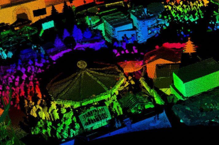
In our white paper, developed together with Flasheye and QRTECH, we explore how LiDAR-based infrastructure monitoring can enable automated safety and create smarter, more efficient roads - ensuring safety for all road users.
What if our roads could see better than our cars?
Imagine roads that actively understand their surroundings. With advanced sensors and real-time data, our streets could detect obstacles, monitor traffic, and even predict hazards faster than any vehicle on the road. Safer journeys start when the road itself becomes a smart observer. LiDAR technology, once limited to autonomous cars, is now transforming cities. From monitoring traffic flow to enhancing pedestrian safety and managing road maintenance, LiDAR-equipped infrastructure gives our environment a 3D awareness that powers smarter, more responsive urban spaces.
About Flasheye
Flasheye develops world-leading perception software for 3D sensors, enabling automation, safety, and efficiency in critical environments. Its edge-optimized platform transforms raw 3D data into real-time insights that are accessible and easy to deploy at scale. Flasheye’s solutions are applied across industries such as transportation, infrastructure, mining, and security, unlocking the potential of LiDAR to drive innovation and make autonomous operations a reality.
About QRTECH
QRTECH is one of the few independent design anddevelopment houses in the Nordics within electronics and software. They function as a powerful complement and support to established R&D departments, and as an enabler for fast-growing companies and scale-ups. QRTECH is a wholly owned subsidiary within the Embron Group.
Download here:


